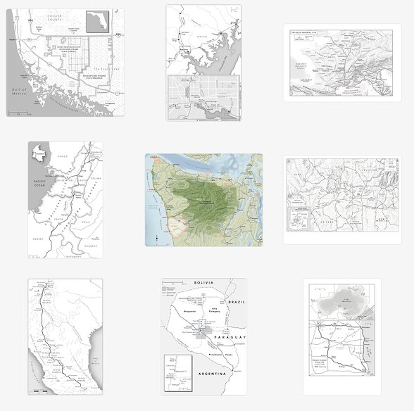
This week I was forced to take a break from cartography work so I could recover from a finger surgery. I've wanted to update my portfolio for years, but someone else's project always took priority. It has been quite some time since I have taken a step back and looked at all the maps I've made over the past 17 years since I started freelancing!

Thanks to all of my clients over the years, whether I was found online through my website, referred by a past client, or discovered by seeing one of my maps. It's hard to believe, but my maps have been in almost 500 books!

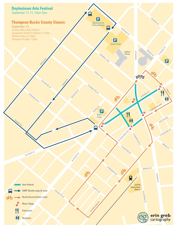
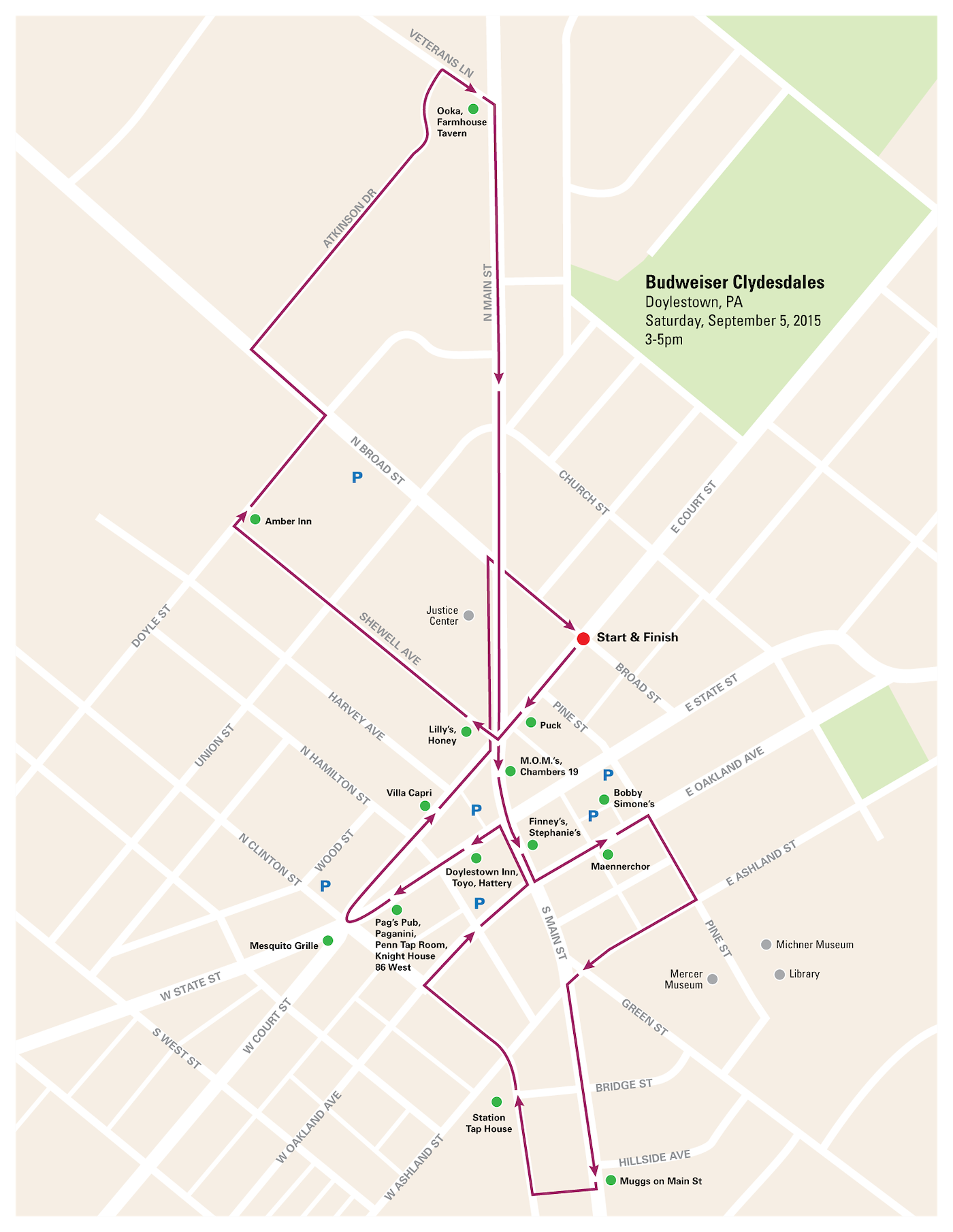
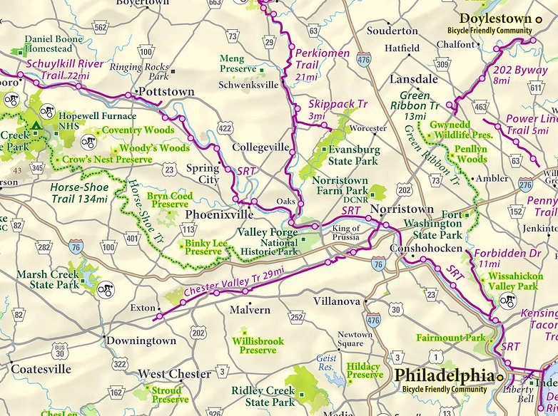
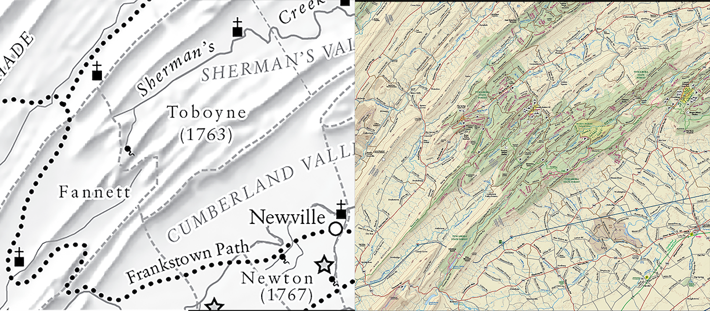
Besides my continued work for scholarly authors and university presses, I've been doing quite a bit of work for Purple Lizard Maps (https://www.purplelizard.com/). I find it energizing to bounce back and forth between maps of a time hundreds of years ago, of a place thousands of miles away, to maps of hiking trails I can drive to on a sunny Saturday. Both teach me about the world around me and give me a new perspective. I'm also an editor for Volume 7 of the Atlas of Design (https://atlasofdesign.org/) which will be ready Fall of 2024 - I'll make a new post when that is ready to pre-order!

Working on two projects in the same area of Pennsylvania, but about 250 years apart. What used to be foot trails used by Native Americans are now highways, but the old churches and meeting houses built by settlers are still here today. I do feel the rich history when I hike in our Pennsylvania forests, and often wonder how everything looked before European settlers arrived. Maps designed for Arthur Andrew Olson III for an article about immigration and settling of Ulster Scots in Pennsylvania and Purple Lizard Maps: Tuscarora State Forest (https://www.purplelizard.com/)

Erin Greb Cartography is back in Doylestown, PA, after a year in NYC. Here is a selection of work I’ve done over the last few years. Although much of my work is custom made for scholarly publications, I also create recreational maps, locator maps, and tourist maps.

I am happy to be working with Mind Your Design as an official sponsor this year, designing the Doylestown Arts Festival map. This involved a print piece as well as an interactive web map, soon to be published on their new website.

This map shows the Doylestown Arts Festival, the Bucks County Classic bicycle criterium race, the DART shuttle bus route, and the train station. Hope this helps the community get to and navigate the festival with ease!

The Budweiser Clydesdales are in Doylestown, PA, today making deliveries to restaurants and bars. I whipped up this quick map to help the locals find a viewing spot on their route. This is just a start to much more community mapping!

This is the way curved type was handled before design software was used! I am in the process of updating a map with an original copyright date of 1977, and using the tools on www.myfonts.com/WhatTheFont/ has been quite useful to help me determine what fonts were used.